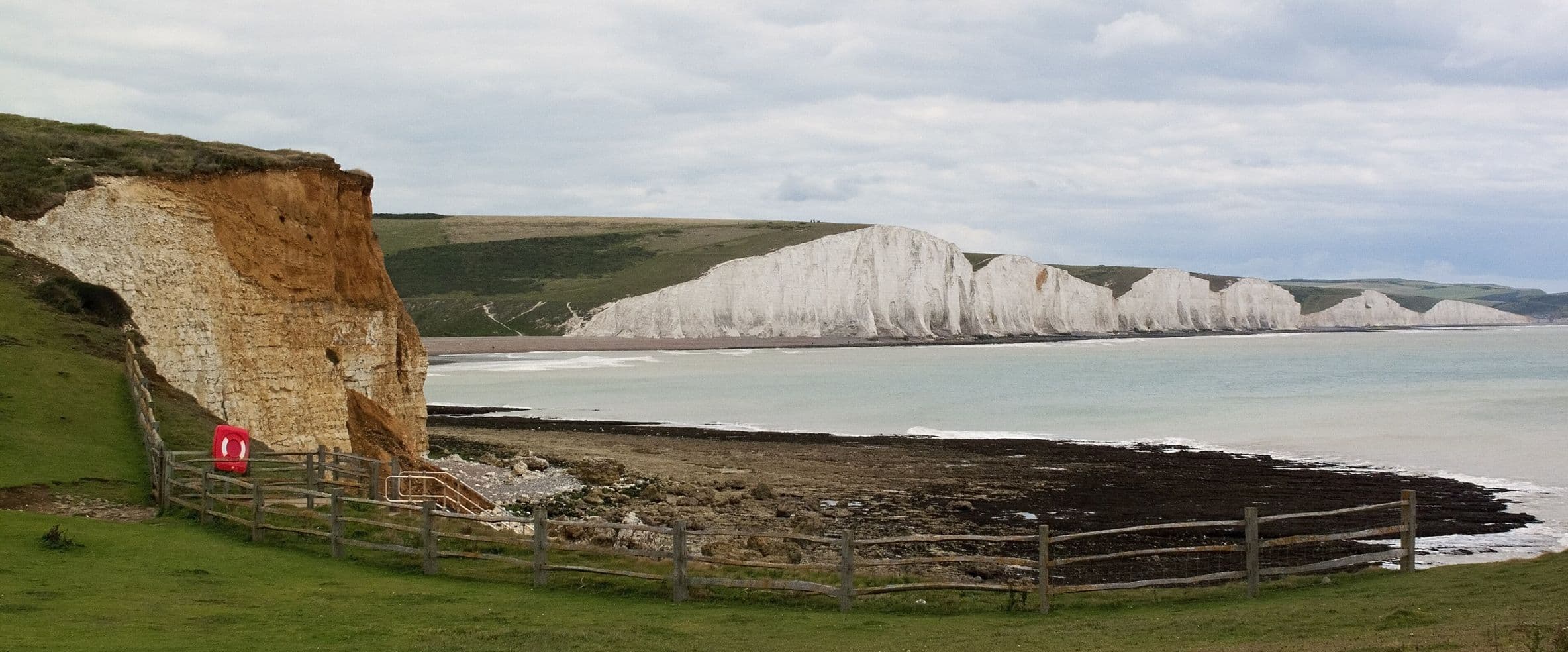
Ditchling, South Downs
Ditchling Beacon from Ditchling village
A five-mile circuit from Ditchling up to the Beacon, the highest point in East Sussex, along the South Downs Way and back down by bridleway to the Bull.
Photo: Brian Gillman (cropped), CC BY 3.0
- Distance
- 5 miles (8 km)
- Time
- 2–3 hours
- Difficulty
- Moderate
- Start
- Ditchling village centre
Parking: Ditchling village car park, opposite the Bull.
Ditchling Beacon is the highest point in East Sussex, and on a clear day you can see from the Weald to the sea. Most people drive to the car park at the top. This walk earns the view instead, climbing from the village and finishing at the Bull's open fires.
From the village the route follows the Sussex Border Path to Burnhouse Bostall, climbs onto the South Downs Way and runs along the ridge to the Beacon, then drops back down by bridleways past Wick Farm and Stoneywish.
Terrain
- A steady climb up the scarp onto the ridge.
- Loose, uneven and muddy sections, especially in winter.
- Some gates; the ridge is exposed, so wrap up in wind.
With your dog
- Sheep and cattle graze close to the path on the Downs: lead on through those sections.
- The South Downs Way is busy at weekends with cyclists and other dogs.
- There's little shade on the ridge in summer, so carry water.
The pub at the end
The Bull
The Bull welcomes dogs throughout the pub, restaurant and garden, and has dog-friendly rooms if you want to make a weekend of it.
See The Bull and more in DitchlingFull route
For turn-by-turn directions and a map, use the published route from GPS Routes. Take a map or app with you as well.
Open the GPS Routes route